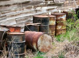
Phase 1 ESA
Phase 1 ESA
Phase 1 ESA
Phase 2 ESA
Phase 1 ESA
Phase 1 ESA

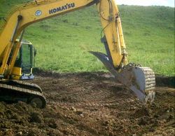
Remediation
Phase 1 ESA
Remediation
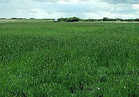
Reclamation
Groundwater Monitoring
Remediation
Groundwater Monitoring
Groundwater Monitoring
Groundwater Monitoring
Borehole / Well Logs
Groundwater Monitoring
Groundwater Monitoring
Industry Partners


